This appeared in Dirt Rag issue #207 back in 2018. Tooting my own horn here a little, it was one of the first mountain biking articles to address climate change. Much respect to Dirt Rag for printing it.
Note: what is below with regard to land/the area did burn, including some sequoia groves, in the SQF Complex Fire of 2020.
We drop down the Freeman Creek Trail in Sequoia National Monument, seeking a unique experience not found anywhere else on earth: the opportunity to mountain bike amidst the big trees. Sequoiadendron giganteum, the giant sequoia, is the largest tree in the world, growing only in a slim sixty mile band of mixed conifer forest on the western slopes of the Sierra Nevada mountain range in California.
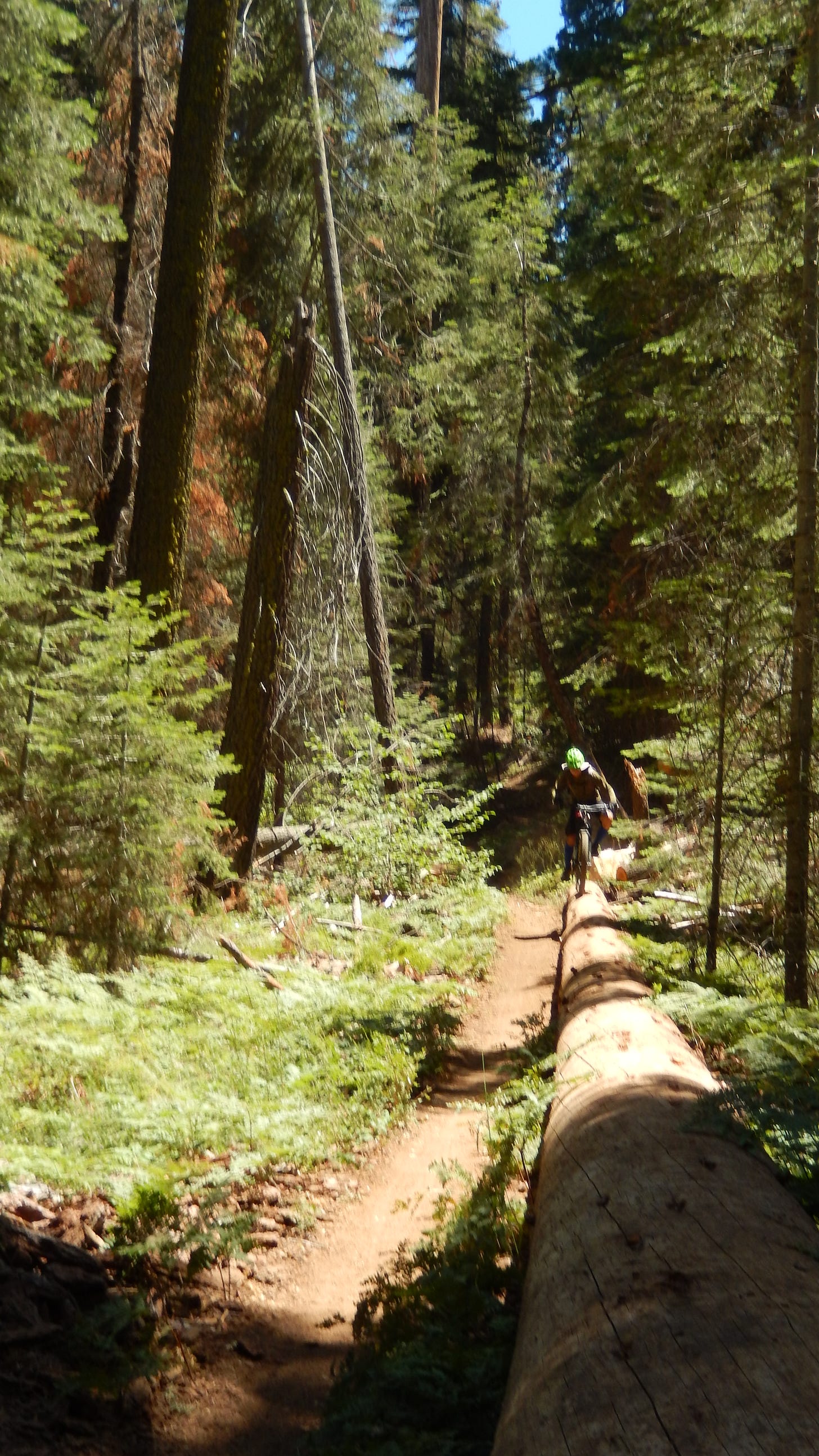
Having done it in the past, and knowing that it truly is awe-inspiring, I cannot wait for my friends to have their experience. The trail is very dry, with inches deep dust in some spots. Add to that the fact that a hard winter has caused much of the trail to be “dirty,” meaning there is a lot of debris from downed trees that had been cleared by trail crews, and you have a much different trail than I remember. We are unable to truly bomb it.
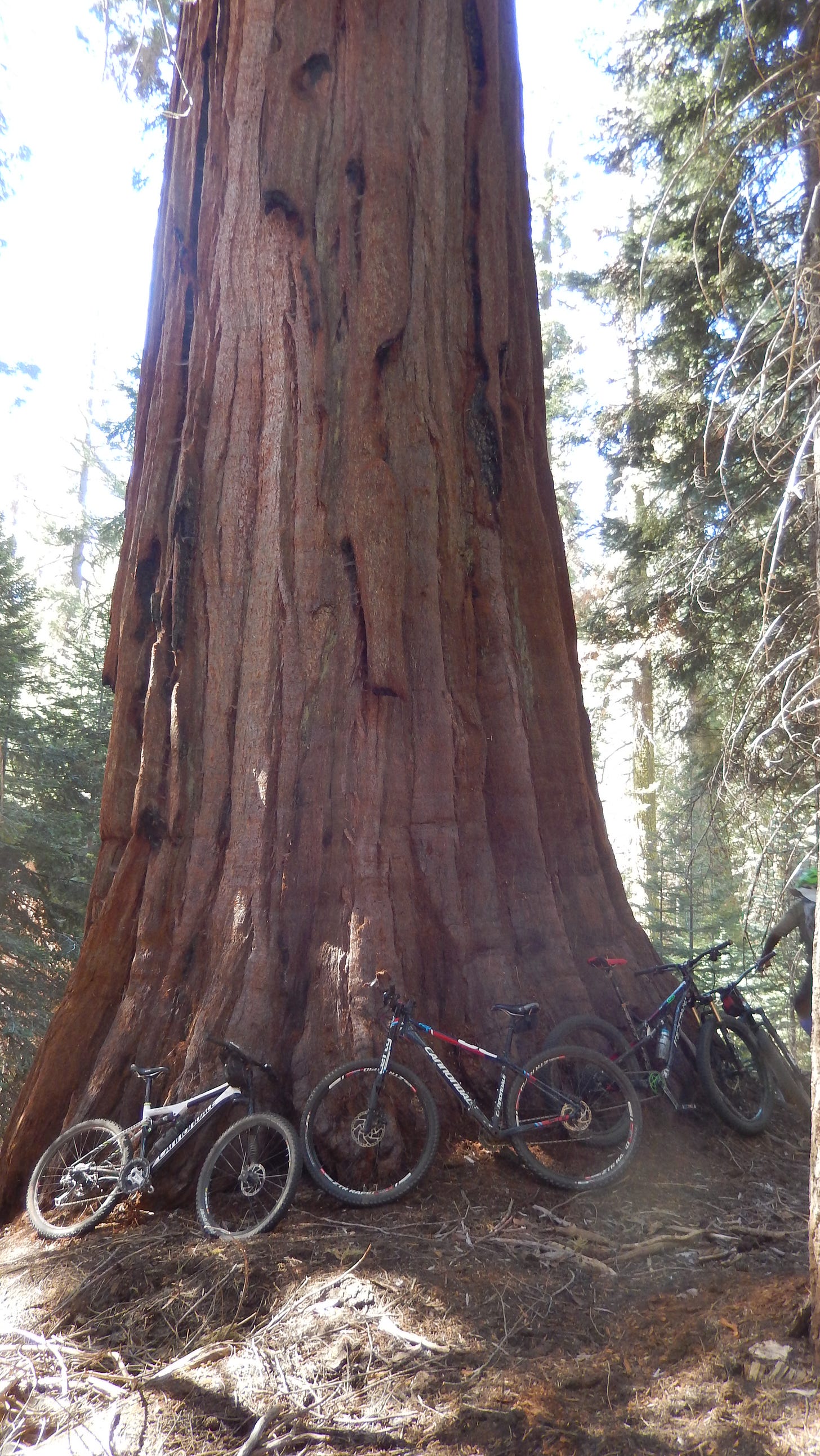
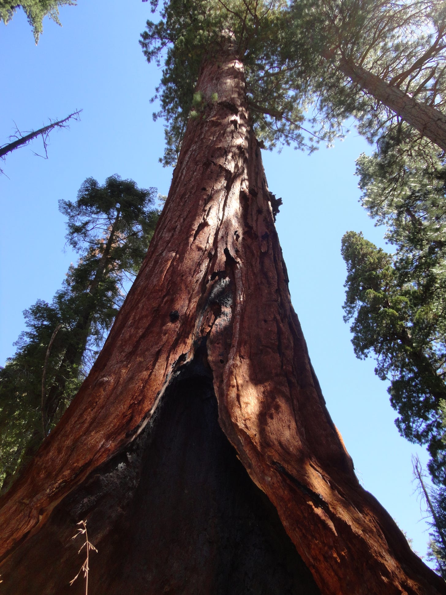
Nevertheless, we descend more, until the first glimpses come into view. There they are. The Freeman Creek Grove of giant sequoias surrounds us. It is the eastern-most grove of all sequoias, totaling some eight-hundred trees in 4,192 acres. We dismount from our bikes. Noticeably, we talk in a kind of hushed tone. It comes naturally. Turning our heads skyward, we try to take in their entirety.
Considering the recent drought, but also keeping in mind the substantial winter rains and snow this year, we think of their health. How are they doing? We know they are resilient; after all, they can live for thousands of years.
Thankfully, they are protected, or are they? President Clinton put ink on the dotted line in April 2000, creating the National Monument. Going back a little farther, President Bush got the process started back in 1992 when he gave his presidential proclamation, which provided resources within the National Forest Service to protect, preserve, and restore sequoia groves. Unfortunately, a recent review under the Trump Administration has lead to a recommendation that Sequoia National Monument lose some of its 300,000 acre size. A final decision is due by the end of 2017.
We continued down the trail, reaching the planned turn-around point: the George H.W. Bush Tree, a massive sequoia that stretches up into the bluebird sky. A snack and swallows of hydration later, we start the arduous climb back to the top. It is slow-going, not all that enjoyable, even to us, riders who actually like to climb. The deep dust and scattered debris make for a head down and get it over with kind of grind. I tell the others that it was not this bad the last time I rode it, two summers ago.
Trails change.
Kevin B. Elliot, Supervisor of Sequoia National Forest, shared with me the following, when I asked about the obvious “rust-colored” trees that are so visible in the Sequoia National Forest, where the Sequoia National Monument is located, and commenting that I heard that the tree mortality rate is around 30%:
“The priority on the Sequoia National Forest is to mitigate threats to the public and employee safety posed by standing dead trees. Actions are underway to mitigate hazard tree danger to recreational facilities, along roads, trails, powerlines, and administrative facilities.
As of 2010, the Sequoia National Forest has more than 17 million dead or dying trees. Approximately 595,000 acres of the Forest’s 1.2 million acres have some degree of tree mortality. To date, crews have treated 71,468 trees, 89% of that work is within the Giant Sequoia National Monument.
Forest Service Region 5 began the 2017 Tree Mortality surveys on July 18. The surveys are on hold due to two large fires on the Inyo National Forest and the Sierra National Forest as well as a smaller fire in Yosemite National Park. New Forest data will be available by the end of the year.”
When asked about the bark beetle and its relation to the drought, Elliot responded:
Drought occurs regularly in California, and increases in bark beetle activity have been consistently recorded wherever drought stress is severe. The severity and duration of the most recent drought had contributed to widespread weakening of many trees over large landscapes. Bark beetles flourished due to abundant numbers of weak trees with lower defenses. Other factors such as overcrowding and resource competition also contributed to low tree resistance.
Bark beetles are native insects that are natural disturbance agents that contribute to forest dynamics and change. When their host trees – such as pines – become weakened due to injury (example: fire) or stress (example: drought), beetles take advantage of the lower resistance/defense mechanisms of weak trees and attack.
It seems like the past five or more years has been the perfect storm, of sorts, in decimating a forest. Still thinking of the orange trees, I am in a somber place.
Elliott explains more:
Dead trees are part of a healthy ecosystem, while making a home to many forest creatures. For example, owls, hawks, and eagles use snags to perch and to support their nests.
Bark beetles are naturally occurring species in the Southern California forests. Under normal conditions, bark beetles renew the forest by killing older trees and those weakened by disease, drought, smog or physical damage. In recent years, drought conditions have become favorable for bark beetle population growth, which ultimately led to the current outbreak.
If the drought is over, the bark beetle population will not diminish right away, it will take time for affected trees to recover from the effects of drought. The beetles will continue to spread throughout the forests until all of the vulnerable trees are consumed. Eventually the beetles will run out of trees to feed on and reproduce, which will lead to a die back of the beetles and a return to normal population levels.
Trees that are vigorous and growing well are much more resistant and resilient against insect infestations. Helping forests be more adaptable and resilient in the face of changing climates or wildfires also help them to be more resistant to native pests.
Next up is Nelson Trail, a somewhat infamous technical downhill that starts opposite to the Freeman Creek Trail on the other side of the hard road. It is steep in sections, and filled with chunky rocks in a lot of it. Going all the way down to Camp Nelson town, there are three sequoia groves to pass through, with the trail going directly through a sequoia tree at one point.
We pedal away and before long, it is obvious that Nelson trail is a different animal than Freeman Creek, which pleases us. It serves up chunky goodness, with some drops here and some strength moves-required there, with a whole lot of love for “old-school” trail needed everywhere.
“I love this kind of riding,” I say with a big grin on my face.
They concur, dropping faster than me and with a smooth finesse despite the terrain. We soon come to a sequoia grove, stopping to take it in, no one complaining of halting the downward momentum. It really is majestic. What’s more, we know that the afternoon will bring us into more sequoia groves.
“Where’s the tree we ride through,” quips Sean.
“It’s coming,” I respond.
As quick as can be, it seemed, we turn down and to the right and there it is. Steve loves it, as does Will. Sean comments, “Where else can you ride a bike through a Sequoia tree?”
Eric LaPrice, Western Divide District Ranger, states about the Camp Nelson area sequoia groves and their health:
The sequoia groves in the Camp Nelson area are under some level of moisture stress because of the drought. Those groves on poor growing sites are the most stressed. The sequoias are being attacked by the western cedar bark beetles (Phloeosinus punctatus). Drought stress increases the susceptibility of sequoias to this insect.
Given all the dead trees, I begin to think of a possible mega-fire. Might that be a good thing, thinking of forest/fire ecology (and less about humans)? I wonder: would the forest be better served by fire, possibly creating a healthier forest after the fire?
Brent Skaggs, Sequoia National Forest, Fire Management Officer, informs me:
Fire will continue to be a major management challenge. As a fundamental ecosystem process in the forest, fire was largely eliminated in the 20th century. Although it is being reintroduced through prescribed burn plans, it is subject to constraints such as smoke production, risk of fire moving outside designated boundaries, and the expanding wildland-urban interface.
As for fires and the ecosystem, fire has always been a natural component. Various plants and animals have adjusted to the “Fire-Adapted “ecosystem, such as the Chaparral and the Giant Sequoia. Both have heat-resistant seeds that break their dormancy. After a fire, some chaparral plants sprout, grow and spread rapidly.
In 2015, the Evan’s Sequoia Groves in the Hume Lake Ranger District [in the northern segment of the Sequoia National Monument] was impacted by the Rough Fire. Lack of fire in the grove over many years had created a fuel loading that included seed cones just waiting to be released. As the fire crept through the grove, it reduced the fuel load, exposed the seed cones and released millions of Giant Sequoia seeds. New sprouts of Giant Sequoias are now visible within the grove.
Down we go. We reach the more wide-open lower end of Nelson Trail and have a blast. Beers and food are on our minds, the local tavern being our destination point. At the final little piece before the creek crossing, we roll up and over and down the big boulder. We stop and take a look at the boulder, seeing other lines across it. Next thing you know, we are pedaling up the trail to come back down and session the end of Nelson Trail, a number of times.
At the tavern, we are beat. Taking our chances, we had not set up a shuttle to take us back up to where we were parked. None of us really wanted to ride the road back up to the car. I decided to enquire inside about the possibility of hiring a driver to take Sean back up.
No problem. The staff said to relax and give them a few minutes and that they would probably be able to work something out for us.
They did, making the beer even more refreshing.
Post-script:
About the drought and the beetles and sequoia trees, LaPrice reminds us all that “Giant Sequoias are resilient. They have survived ice ages and longer drought cycles.”
What can we, as mountain bikers, do to assist Sequoia National Forest land managers? Here is what LaPrice has to say:
Stay on trails and roads designated for use. Cutting switchbacks, creating hill climbs and riding in undesignated areas causing erosion, loss of wildlife habitat and other natural resource damage that can take years to reestablish. Social trails fragment wildlife habitat and change drainage patterns, leading to accelerated erosion. Official trails are designed specifically to minimize impact and be sustainable. In addition, social trails present a danger to other recreationists. Some may not realize they have wandered off the official trail and may end up getting lost and possibly needing search and rescue.
The forest is for everyone. Be considerate of hikers and equestrians and stay aware of your surroundings. As we say in the Forest Service – Know Before You Go! Be prepared for sudden changes in weather. Preplan your trip and ride with a buddy or share your trip plan with a friend, and stick to your plan. Make sure you have a first aid kit and proper safety gear with your when riding in the forest.
Some words of advice about Nelson Trail from Eric LaPrice Western Divide District Ranger:
The visitor can ride their (non-motorized) bicycle along the Nelson Trail through three groves of giant sequoia trees located near Camp Nelson: Belknap, McIntyre, and Wheel Meadow Groves. This trail runs between Camp Nelson, near Belknap Campground, and Quaking Aspen Campground. The trail is approximately 3.7 miles one way, and travels between 5300-6800 feet in elevation.
Visitors hiking or biking along the Nelson Trail should be aware of overhead hazards as well as those lying on the ground. Standing dead trees, tree limbs dangling above, trees or branches laying in the path, could all result in an unexpected hazard for travelers. Look up, look down, and be aware of your surroundings when recreating in the Forest. During dry times of the year, risk of wildfire is high, please be careful with all sources of flame.
411
Camping is available at the Forest Service Quaking Aspen Campground, where both Freeman Creek and Nelson trails begin. Freeman Creek is an out-and-back ride, while Nelson is done with a shuttle by most people. I have done it by riding down Nelson and then riding the road back up to my car. If you’re down in Kernville, ask around at the brewery for “Shuttle Bob.” He does Camp Nelson shuttles. The local shuttle out of Camp Nelson is no longer available, as of this writing. Or, maybe you’ll get lucky, like we did, at the tavern by asking around for someone to shuttle you.
Food: Ponderosa is a cluster of houses/cabins, where this is a general store that is also a café that is also a bar. Breakfast, lunch, and dinner can be found there, along with camping supplies.
Camp Nelson Tavern is another option for food and drink.
In the area: be sure to check out the Trail of 100 Giants. It is a sequoia grove accessible from the road with an easy walking path through the trees. I have never seen it crowded there, and have always left happy.
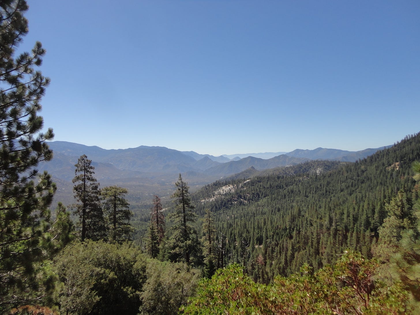
Also, check out Dome Rock overlook. You do not want to miss it.


A reader reminded that Shuttle Bob passed away a few years ago. RIP Shuttle Bob.