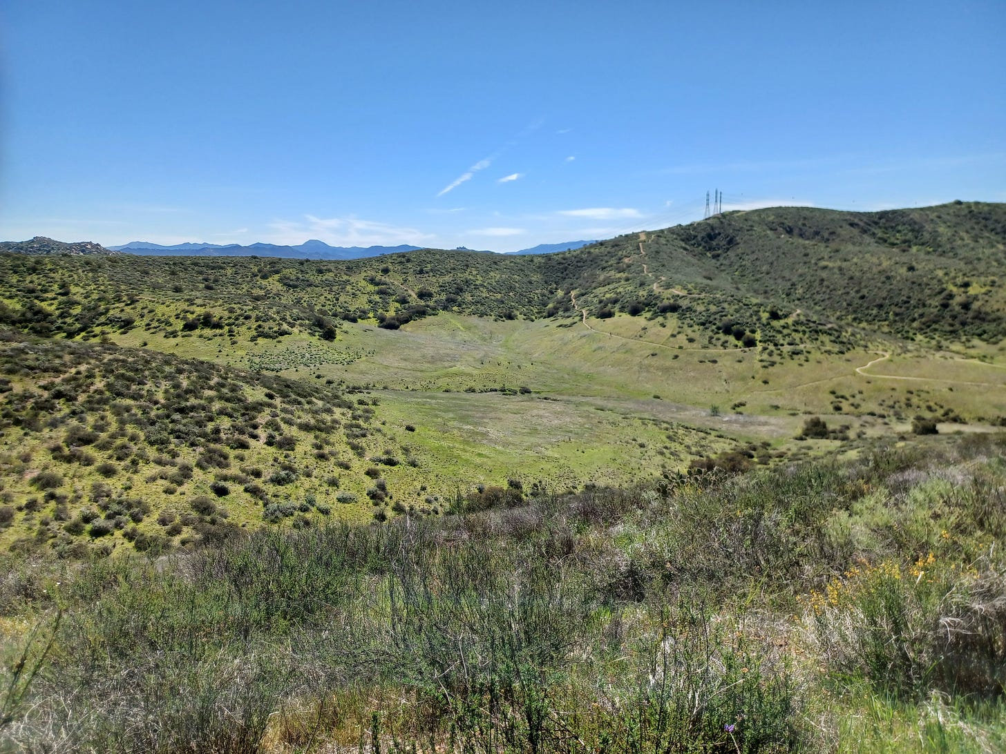
They’re out there for you. You can’t find ‘em on Trail Forks or MTB Project, though. Yes, you can look elsewhere and piece things together. The best thing to do: wander.
If I’m going to ride the Mel Brooks Trails east of San Diego, I like to add ‘em on after riding Stowe up to Martha’s and back down and around, something like:
Up Stowe to Martha’s > back through the way I came on Stowe > veer left and meander in the direction of the bottom of High Anxiety > climb/hike-a-bike up High Anxiety to the white boulder field > High Anxiety to Candygram > down Candygram > up to Blazing Saddles and down/back to where I started.
Or …
All that but climb up Candygram and then do an out-and-back on High Anxiety and go down Mongo and then work up/across to High-n-Dry and go down. Don’t forget about Spaceballs.
Basically, it’s a big ol’ playground.
There’s been talk of it all being turned into houses for a while, but if I read a local newspaper report correctly, it seems like an improper assessment of wildfires, or the potential of, may have put a stop to the process.
For now.
In the meantime …
I looked in the cooler and there was nothing in it but old cold/ice paks. Better luck next time, perhaps.
None of it is mapped on any official trail system. In addition to mountain bikers, you might see an occasional hiker or trail runner, as well as people on moto-bikes. Watch out for the helicopter training sessions … and broken glass … and if you’re on the Stowe Trail without a permit, be on the lookout for Marines.
What a fun place to ride, eh?!
If riding around/through/up-and-over, as well as hucking/dropping off of boulders, following dots, along with tech features and fast downhill, is what you’re looking for, go find the Mel Brooks Trails.


